Milkhouse Water Bridge - No.112 - K&A Canal - 2002
Introduction
The photograph on this page of Milkhouse Water Bridge - No.112 - K&A Canal - 2002 by Maurice Pullin as part of the Geograph project.
The Geograph project started in 2005 with the aim of publishing, organising and preserving representative images for every square kilometre of Great Britain, Ireland and the Isle of Man.

There are currently over 7.5m images from over 14,400 individuals and you can help contribute to the project by visiting https://www.geograph.org.uk
Milkhouse Water Bridge - No.112 - K&A Canal - 2002
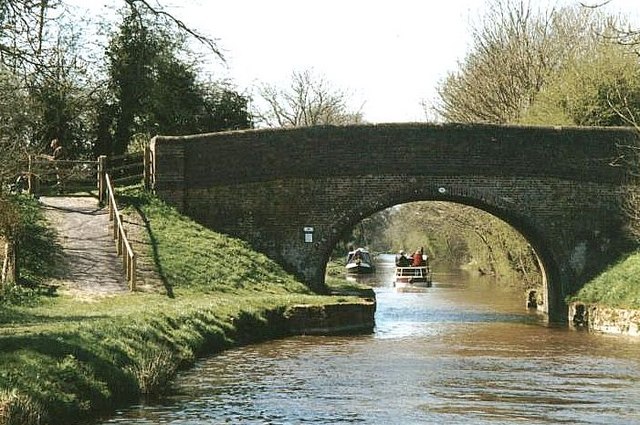
Image: © Maurice Pullin Taken: 7 Apr 2002
Milkhouse Water Bridge is seen here from the east. Hills to the north of the canal between Devizes and Wootton Rivers form the southern edge of the Marlborough Downs, all are worth the walk to the top, the walk from this bridge to Martinsell Hill and Giants Cave is particularly recommended. OS Explorer Map 157 is useful.
Images are licensed for reuse under creativecommons.org/licenses/by-sa/2.0
Image Location
Latitude
51.35429
Longitude
-1.751085