Pasture on Measbury Moor
Introduction
The photograph on this page of Pasture on Measbury Moor by Derek Harper as part of the Geograph project.
The Geograph project started in 2005 with the aim of publishing, organising and preserving representative images for every square kilometre of Great Britain, Ireland and the Isle of Man.

There are currently over 7.5m images from over 14,400 individuals and you can help contribute to the project by visiting https://www.geograph.org.uk
Pasture on Measbury Moor
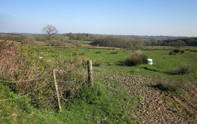
Image: © Derek Harper Taken: 21 Apr 2015
The view on the right-hand side of the road shown in Image], with rushes spreading across a meadow containing a couple of isolated trees. beyond is the head of the valley of a tributary of the Huntacott Water, with woods around Thornham.
Images are licensed for reuse under creativecommons.org/licenses/by-sa/2.0
Image Location
Latitude
50.951943
Longitude
-3.806567