Road at South Rowley
Introduction
The photograph on this page of Road at South Rowley by Derek Harper as part of the Geograph project.
The Geograph project started in 2005 with the aim of publishing, organising and preserving representative images for every square kilometre of Great Britain, Ireland and the Isle of Man.

There are currently over 7.5m images from over 14,400 individuals and you can help contribute to the project by visiting https://www.geograph.org.uk
Road at South Rowley
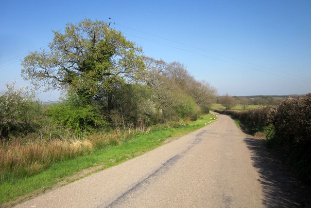
Image: © Derek Harper Taken: 21 Apr 2015
A ridge road that links Kings Nympton and Meshaw, though the latter is down a valley. Up here it is farmland, mainly pasture, and scattered farms; South Rowley Farm is hidden on the left by this stretch of road, but the tell-tale rocks on the verge ahead indicate where they would prefer you not to park.
Images are licensed for reuse under creativecommons.org/licenses/by-sa/2.0
Image Location
Latitude
50.95295
Longitude
-3.805467