River Wye west of Whitney Bridge
Introduction
The photograph on this page of River Wye west of Whitney Bridge by Jonathan Billinger as part of the Geograph project.
The Geograph project started in 2005 with the aim of publishing, organising and preserving representative images for every square kilometre of Great Britain, Ireland and the Isle of Man.

There are currently over 7.5m images from over 14,400 individuals and you can help contribute to the project by visiting https://www.geograph.org.uk
River Wye west of Whitney Bridge
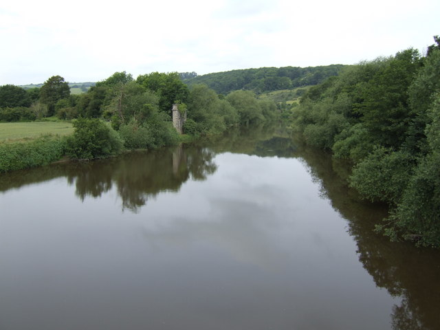
Image: © Jonathan Billinger Taken: 19 Jun 2007
The pier visible on the south bank is a remnant of the viaduct which used to carry the Hereford to Brecon railway over the river.
Images are licensed for reuse under creativecommons.org/licenses/by-sa/2.0
Image Location
Latitude
52.12071
Longitude
-3.086759