The course of Salmon's Brook west of the Clarendon Arch
Introduction
The photograph on this page of The course of Salmon's Brook west of the Clarendon Arch by Mike Quinn as part of the Geograph project.
The Geograph project started in 2005 with the aim of publishing, organising and preserving representative images for every square kilometre of Great Britain, Ireland and the Isle of Man.

There are currently over 7.5m images from over 14,400 individuals and you can help contribute to the project by visiting https://www.geograph.org.uk
The course of Salmon's Brook west of the Clarendon Arch
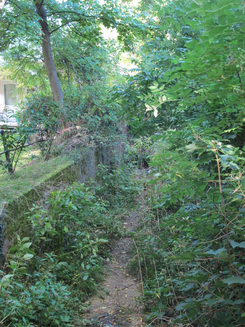
Image: © Mike Quinn Taken: 14 Oct 2015
The brook must be diverted somewhere to the northwest, as it re-appears from a conduit to the east of the Clarendon Arch - see Image
Images are licensed for reuse under creativecommons.org/licenses/by-sa/2.0
Image Location
Latitude
51.638769
Longitude
-0.088125