Blackfriars Road, SE1 (2)
Introduction
The photograph on this page of Blackfriars Road, SE1 (2) by Danny P Robinson as part of the Geograph project.
The Geograph project started in 2005 with the aim of publishing, organising and preserving representative images for every square kilometre of Great Britain, Ireland and the Isle of Man.

There are currently over 7.5m images from over 14,400 individuals and you can help contribute to the project by visiting https://www.geograph.org.uk
Blackfriars Road, SE1 (2)
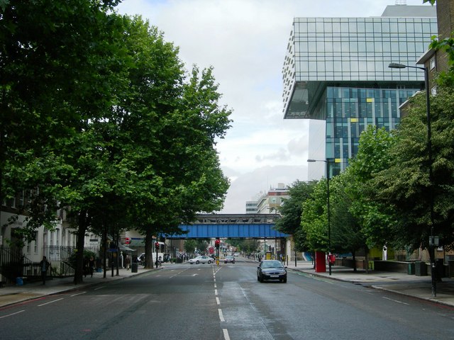
Image: © Danny P Robinson Taken: 18 Jun 2007
Looking towards the junction with The Cut and Union Street. The railway bridge carries trains between Charing Cross and London Bridge stations. The offices that overhang are the London Development Agency at 197 Blackfriars Road.
Images are licensed for reuse under creativecommons.org/licenses/by-sa/2.0
Image Location
Latitude
51.502722
Longitude
-0.105352