Rocky knoll
Introduction
The photograph on this page of Rocky knoll by Jonathan Wilkins as part of the Geograph project.
The Geograph project started in 2005 with the aim of publishing, organising and preserving representative images for every square kilometre of Great Britain, Ireland and the Isle of Man.

There are currently over 7.5m images from over 14,400 individuals and you can help contribute to the project by visiting https://www.geograph.org.uk
Rocky knoll
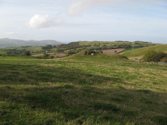
Image: © Jonathan Wilkins Taken: 20 Oct 2015
Pasture below Ffrith Wen surrounds a couple of rocky knolls, beyond which the ground drops steeply to Tynllwyn. The rock outcrops are mudstones of the Elwy Formation (Silurian). Elsewhere the ground is mantled by glacial deposits, and it is a matter of interest that a large glacial erratic boulder has been dragged from the field to an out-of-the-way spot where rock has been quarried for local purposes.
Images are licensed for reuse under creativecommons.org/licenses/by-sa/2.0
Image Location
Latitude
53.254685
Longitude
-3.747274