Sheerness Dockyard Church
Introduction
The photograph on this page of Sheerness Dockyard Church by John Baker as part of the Geograph project.
The Geograph project started in 2005 with the aim of publishing, organising and preserving representative images for every square kilometre of Great Britain, Ireland and the Isle of Man.

There are currently over 7.5m images from over 14,400 individuals and you can help contribute to the project by visiting https://www.geograph.org.uk
Sheerness Dockyard Church
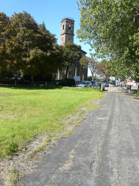
Image: © John Baker Taken: 27 Sep 2015
No restoration work seemed to have been carried out on Image since last September but having accessed http://sheernessdockyardpt.org.uk/ I clicked on “Hiring Conservation Architect/Surveyor” and saw that The Trust is seeking an experienced architect or surveyor to carry out a comprehensive survey of the condition of the building’s fabric. Following the conclusion of this survey work, a further application will be made to fund the works recommended by this report. Responses are to be sent by email to the Dockyard Church by 17:00 on 12 October 2015 http://sheernessdockyardpt.org.uk/index.php/2015/09/24/we-are-hiring/ Perhaps this is the reason why.
Images are licensed for reuse under creativecommons.org/licenses/by-sa/2.0
Image Location
Latitude
51.442971
Longitude
0.753755