Ordnance Survey Flush Bracket (G4925)
Introduction
The photograph on this page of Ordnance Survey Flush Bracket (G4925) by Adrian Dust as part of the Geograph project.
The Geograph project started in 2005 with the aim of publishing, organising and preserving representative images for every square kilometre of Great Britain, Ireland and the Isle of Man.

There are currently over 7.5m images from over 14,400 individuals and you can help contribute to the project by visiting https://www.geograph.org.uk
Ordnance Survey Flush Bracket (G4925)
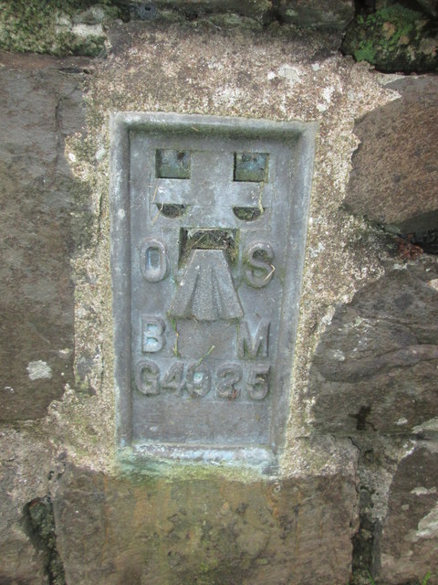
Image: © Adrian Dust Taken: 19 Oct 2015
This OS Flush Bracket can be found on the north parapet, north face of the bridge. It marks a point 186.576m above mean sea level.
Images are licensed for reuse under creativecommons.org/licenses/by-sa/2.0
Image Location
Latitude
51.213545
Longitude
-3.841561