
Station Lane, Witney, Oxon
Introduction
The photograph on this page of Station Lane, Witney, Oxon by P L Chadwick as part of the Geograph project.
The Geograph project started in 2005 with the aim of publishing, organising and preserving representative images for every square kilometre of Great Britain, Ireland and the Isle of Man.

There are currently over 7.5m images from over 14,400 individuals and you can help contribute to the project by visiting https://www.geograph.org.uk
Station Lane, Witney, Oxon
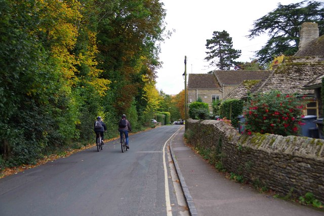
Image: © P L Chadwick Taken: 17 Oct 2015
The road is now one-way. It used to give access to Witney's original railway station which later became the goods station. It closed for goods in November 1970, passenger services to Witney having ended some years previously. There has recently been some discussion about the need to re-instate some kind of rail link to Witney and ideally beyond to Carterton. Possibilities suggested include some kind of light rail or tram-train. Whether anything will actually happen remains to be seen.
Images are licensed for reuse under creativecommons.org/licenses/by-sa/2.0
Image Location

Latitude
51.780875
Longitude
-1.484639