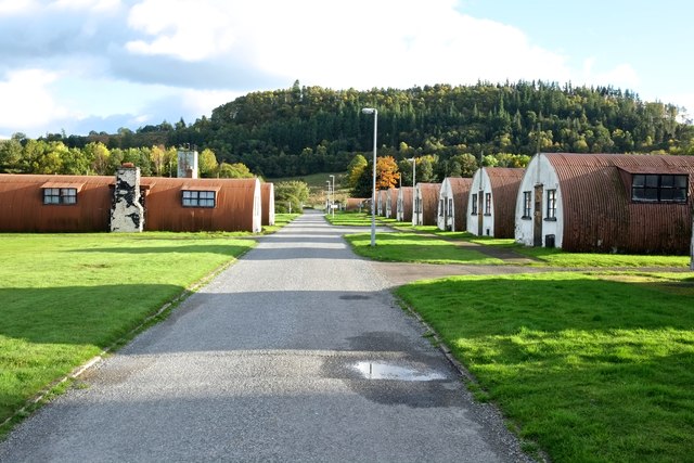
Cultybraggan Heritage site
Introduction
The photograph on this page of Cultybraggan Heritage site by Anthony O'Neil as part of the Geograph project.
The Geograph project started in 2005 with the aim of publishing, organising and preserving representative images for every square kilometre of Great Britain, Ireland and the Isle of Man.
There are currently over 7.5m images from over 14,400 individuals and you can help contribute to the project by visiting https://www.geograph.org.uk

Image: © Anthony O'Neil Taken: 12 Oct 2015
In 2007, this former Army Camp was bought from the MOD by the Comrie Development Trust, and is now (partly) subject to a share offer to raise investment in a conversion project which will turn ten of the Nissen Huts into self-catering units and progressively upgrade others through the hoped-for profits of the scheme. This is the result of years of research and planning by the local Comrie Heritage Group who have been seeking a viable future for the historic camp, limited by the requirement to maintain the outward appearance of the huts while finding a new and profitable use for them. A share offer is currently available in writing and on-line and each investor can purchase from 1 to 200 shares (but thereby acquires just 1 vote per person).

