The old Crystal Palace High Level line
Introduction
The photograph on this page of The old Crystal Palace High Level line by Marathon as part of the Geograph project.
The Geograph project started in 2005 with the aim of publishing, organising and preserving representative images for every square kilometre of Great Britain, Ireland and the Isle of Man.

There are currently over 7.5m images from over 14,400 individuals and you can help contribute to the project by visiting https://www.geograph.org.uk
The old Crystal Palace High Level line
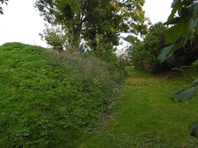
Image: © Marathon Taken: 18 Oct 2015
The London, Chatham & Dover Railway opened the line from Nunhead to Crystal Palace High Level in 1865 to serve the Crystal Palace, which had been rebuilt on Sydenham Hill some ten years previously. Unfortunately the Crystal Palace was in decline as a visitor attraction by the end of the 19th century and this, coupled with the fact that the line passed through an area which was largely undeveloped well into the 20th century, meant that the line had very low passenger usage. It finally closed in 1954. Once dismantling of the track had been completed, the entire railway land between Nunhead and Crystal Palace was bought by the London County Council who passed it on to local councils for housing and open space development. This was the origin of the attractive open space just behind where I am standing of Brenchley Gardens - see http://www.geograph.org.uk/photo/2636206 This view looks northwards along the embankment of the old track towards Nunhead. It is seen from Kelvington Road.
Images are licensed for reuse under creativecommons.org/licenses/by-sa/2.0
Image Location
Latitude
51.453786
Longitude
-0.049517