Deramy's Stone
Introduction
The photograph on this page of Deramy's Stone by Geographer as part of the Geograph project.
The Geograph project started in 2005 with the aim of publishing, organising and preserving representative images for every square kilometre of Great Britain, Ireland and the Isle of Man.

There are currently over 7.5m images from over 14,400 individuals and you can help contribute to the project by visiting https://www.geograph.org.uk
Deramy's Stone
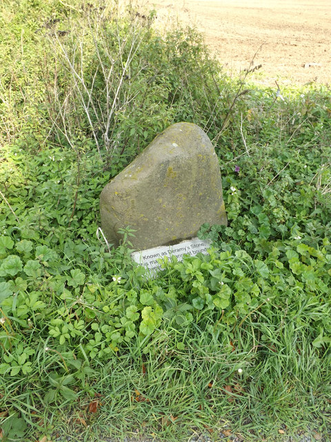
Image: © Geographer Taken: 3 Oct 2015
Deramy's Stone stands on the boundary between East and West Mersea. The plaque below the stone (erected in January 1975) says the stone marks the Boundary of the Manor of West Mersea On East Mersea Road at the junction with East Road
Images are licensed for reuse under creativecommons.org/licenses/by-sa/2.0
Image Location


Leaflet Map data © OpenStreetMap
Latitude
51.789869
Longitude
0.952123