Calder Valley Greenway, Colne Bridge, Kirkheaton (the part that was in Huddersfield CB)
Introduction
The photograph on this page of Calder Valley Greenway, Colne Bridge, Kirkheaton (the part that was in Huddersfield CB) by Humphrey Bolton as part of the Geograph project.
The Geograph project started in 2005 with the aim of publishing, organising and preserving representative images for every square kilometre of Great Britain, Ireland and the Isle of Man.

There are currently over 7.5m images from over 14,400 individuals and you can help contribute to the project by visiting https://www.geograph.org.uk
Calder Valley Greenway, Colne Bridge, Kirkheaton (the part that was in Huddersfield CB)
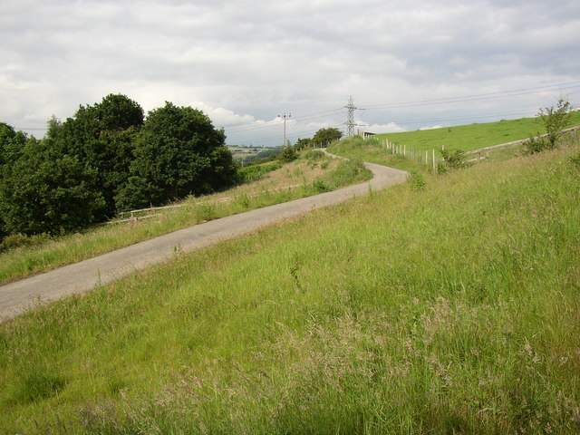
Image: © Humphrey Bolton Taken: 18 Jun 2007
I thought that there would have to be a steep climb from Colne Bank Lane to Bog Green Lane, but it is quite easy.
Images are licensed for reuse under creativecommons.org/licenses/by-sa/2.0
Image Location


Leaflet Map data © OpenStreetMap
Latitude
53.675276
Longitude
-1.735054