Red Lane leading out of Shipley
Introduction
The photograph on this page of Red Lane leading out of Shipley by Marathon as part of the Geograph project.
The Geograph project started in 2005 with the aim of publishing, organising and preserving representative images for every square kilometre of Great Britain, Ireland and the Isle of Man.

There are currently over 7.5m images from over 14,400 individuals and you can help contribute to the project by visiting https://www.geograph.org.uk
Red Lane leading out of Shipley
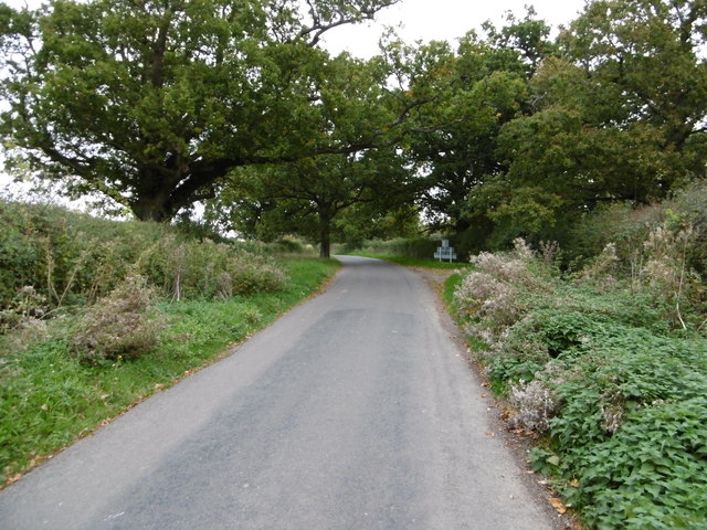
Image: © Marathon Taken: 17 Oct 2015
Red Lane leads out of the centre of Shipley, not that Shipley really has a centre. The sign in the distance is for the village on the approach from the north.
Images are licensed for reuse under creativecommons.org/licenses/by-sa/2.0
Image Location
Latitude
50.986384
Longitude
-0.36995