Bus turning circle, Grangewood Farm
Introduction
The photograph on this page of Bus turning circle, Grangewood Farm by Richard Vince as part of the Geograph project.
The Geograph project started in 2005 with the aim of publishing, organising and preserving representative images for every square kilometre of Great Britain, Ireland and the Isle of Man.

There are currently over 7.5m images from over 14,400 individuals and you can help contribute to the project by visiting https://www.geograph.org.uk
Bus turning circle, Grangewood Farm
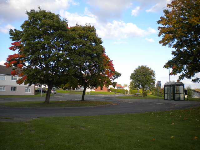
Image: © Richard Vince Taken: 27 Sep 2015
Buses serve Grangewood Farm estate on a one way loop, meaning this turning circle on Harehill Road is now effectively a large, semi circular layby. The leaves on the trees in the middle of the turning circle are just beginning to change colour.
Images are licensed for reuse under creativecommons.org/licenses/by-sa/2.0
Image Location
Latitude
53.217719
Longitude
-1.437915