Probation centre, Chesterfield
Introduction
The photograph on this page of Probation centre, Chesterfield by Richard Vince as part of the Geograph project.
The Geograph project started in 2005 with the aim of publishing, organising and preserving representative images for every square kilometre of Great Britain, Ireland and the Isle of Man.

There are currently over 7.5m images from over 14,400 individuals and you can help contribute to the project by visiting https://www.geograph.org.uk
Probation centre, Chesterfield
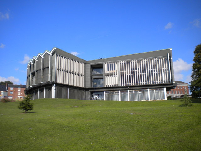
Image: © Richard Vince Taken: 27 Sep 2015
Set in a park location, halfway up the hill from West Bars to Rose Hill.
Images are licensed for reuse under creativecommons.org/licenses/by-sa/2.0
Image Location
Latitude
53.235857
Longitude
-1.433782