Mablethorpe: the lifeboat station
Introduction
The photograph on this page of Mablethorpe: the lifeboat station by Chris Downer as part of the Geograph project.
The Geograph project started in 2005 with the aim of publishing, organising and preserving representative images for every square kilometre of Great Britain, Ireland and the Isle of Man.

There are currently over 7.5m images from over 14,400 individuals and you can help contribute to the project by visiting https://www.geograph.org.uk
Mablethorpe: the lifeboat station
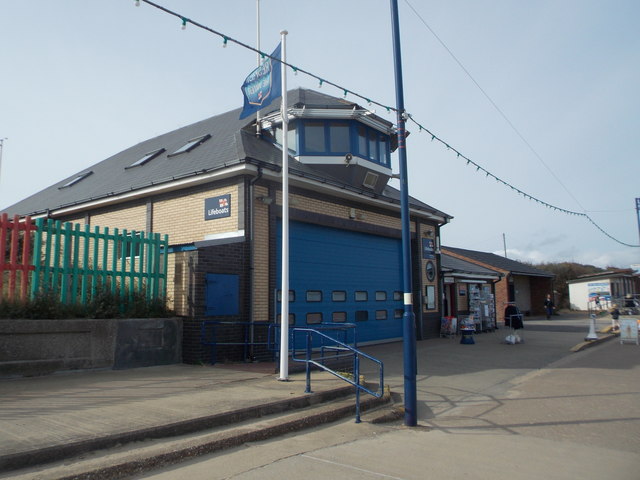
Image: © Chris Downer Taken: 10 Oct 2015
The lifeboat station is in the town centre, just south of the main beach access point. It also has a small RNLI gift shop.
Images are licensed for reuse under creativecommons.org/licenses/by-sa/2.0
Image Location
Latitude
53.340726
Longitude
0.265808