Nineteenth-century benchmark on wall
Introduction
The photograph on this page of Nineteenth-century benchmark on wall by Shantavira as part of the Geograph project.
The Geograph project started in 2005 with the aim of publishing, organising and preserving representative images for every square kilometre of Great Britain, Ireland and the Isle of Man.

There are currently over 7.5m images from over 14,400 individuals and you can help contribute to the project by visiting https://www.geograph.org.uk
Nineteenth-century benchmark on wall
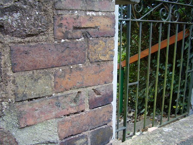
Image: © Shantavira Taken: 17 Oct 2015
The 1886-93 map shows this benchmark at 437.8 ft. above sea level (Liverpool datum) on the west face of wall, 3m south of Hornyold Arms Hotel (now a private house). The two parts of this benchmark have been separate during rebuilding of the wall.
Images are licensed for reuse under creativecommons.org/licenses/by-sa/2.0
Image Location
Latitude
52.082726
Longitude
-2.332384