Lees House Farm
Introduction
The photograph on this page of Lees House Farm by Stephen McKay as part of the Geograph project.
The Geograph project started in 2005 with the aim of publishing, organising and preserving representative images for every square kilometre of Great Britain, Ireland and the Isle of Man.

There are currently over 7.5m images from over 14,400 individuals and you can help contribute to the project by visiting https://www.geograph.org.uk
Lees House Farm
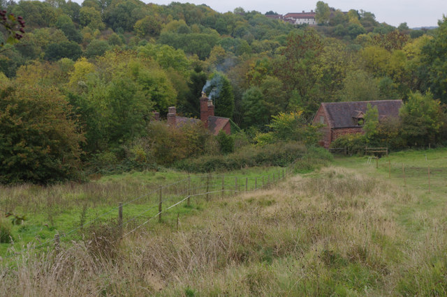
Image: © Stephen McKay Taken: 10 Oct 2015
A wisp of smoke emerges from a chimney seen from the path leading down towards Coalport Road in the wooded valley.
Images are licensed for reuse under creativecommons.org/licenses/by-sa/2.0
Image Location
Latitude
52.62685
Longitude
-2.456011