Derelict house, The Temple near Carryduff (October 2015)
Introduction
The photograph on this page of Derelict house, The Temple near Carryduff (October 2015) by Albert Bridge as part of the Geograph project.
The Geograph project started in 2005 with the aim of publishing, organising and preserving representative images for every square kilometre of Great Britain, Ireland and the Isle of Man.

There are currently over 7.5m images from over 14,400 individuals and you can help contribute to the project by visiting https://www.geograph.org.uk
Derelict house, The Temple near Carryduff (October 2015)
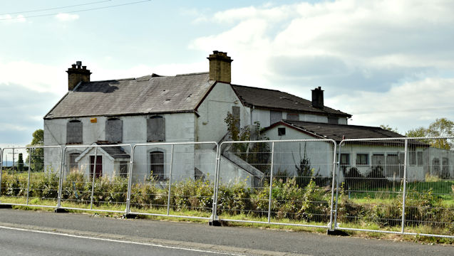
Image: © Albert Bridge Taken: 17 Oct 2015
A derelict house and outbuildings, on the western side of the Carryduff Road, to the north of the crossroads. I can’t find any reference to an existing planning permission.
Images are licensed for reuse under creativecommons.org/licenses/by-sa/2.0
Image Location
Latitude
54.477533
Longitude
-5.908202