site of old mill ,Woolfold
Introduction
The photograph on this page of site of old mill ,Woolfold by liz dawson as part of the Geograph project.
The Geograph project started in 2005 with the aim of publishing, organising and preserving representative images for every square kilometre of Great Britain, Ireland and the Isle of Man.

There are currently over 7.5m images from over 14,400 individuals and you can help contribute to the project by visiting https://www.geograph.org.uk
site of old mill ,Woolfold
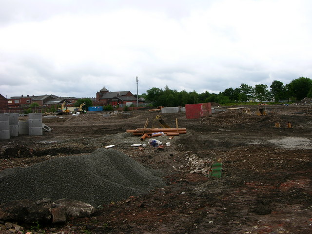
Image: © liz dawson Taken: 17 Jun 2007
marked on the map as Mills, this site is being redeveloped like much of this part of Bury
Images are licensed for reuse under creativecommons.org/licenses/by-sa/2.0
Image Location
Latitude
53.598023
Longitude
-2.319388