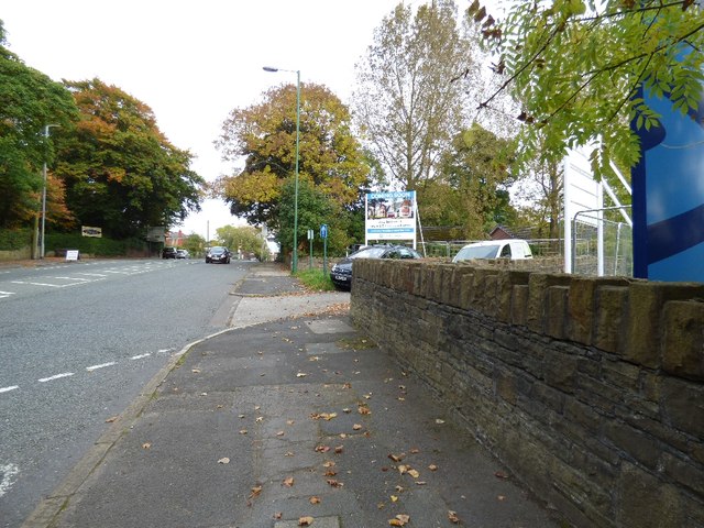
Stockport Road
Introduction
The photograph on this page of Stockport Road by Gerald England as part of the Geograph project.
The Geograph project started in 2005 with the aim of publishing, organising and preserving representative images for every square kilometre of Great Britain, Ireland and the Isle of Man.
There are currently over 7.5m images from over 14,400 individuals and you can help contribute to the project by visiting https://www.geograph.org.uk

Image: © Gerald England Taken: 15 Oct 2015
The A560 approaching Gee Cross. On the right a sign at the entrance to former Hyde campus of Tameside College Image announces "Coming Soon a collection of new 4 & 5 bedroom homes". Somehow the fact this was previously designated as Green Belt land has not prevented the sale of the land for housing development. According to a local politician the developers have gained outline permission which is not the same as "permission to build" and they currently have a "real" planning application which started earlier this month. So perhaps the signs are a little premature.

