Uwchben Bola Haul / Above Bola Haul
Introduction
The photograph on this page of Uwchben Bola Haul / Above Bola Haul by Alan Richards as part of the Geograph project.
The Geograph project started in 2005 with the aim of publishing, organising and preserving representative images for every square kilometre of Great Britain, Ireland and the Isle of Man.

There are currently over 7.5m images from over 14,400 individuals and you can help contribute to the project by visiting https://www.geograph.org.uk
Uwchben Bola Haul / Above Bola Haul
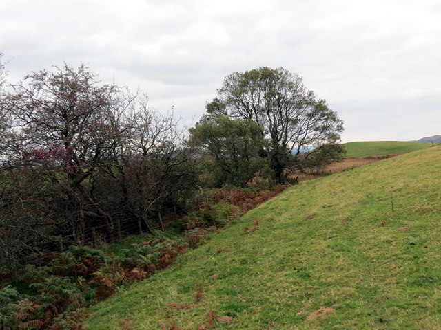
Image: © Alan Richards Taken: 17 Oct 2015
Llwybr cyhoeddus yn mynd i gyfeiriad Talyllychau uwchlaw anhedd-dy o'r enw Bola'r Haul. A public footpath heading in the direction of Talley < Talyllychau (trans. end of the lakes) above a property known as Bola'r Haul (trans. belly of the sun).
Images are licensed for reuse under creativecommons.org/licenses/by-sa/2.0
Image Location
Latitude
51.977846
Longitude
-3.961568