Path junction, Thurstonland
Introduction
The photograph on this page of Path junction, Thurstonland by Humphrey Bolton as part of the Geograph project.
The Geograph project started in 2005 with the aim of publishing, organising and preserving representative images for every square kilometre of Great Britain, Ireland and the Isle of Man.

There are currently over 7.5m images from over 14,400 individuals and you can help contribute to the project by visiting https://www.geograph.org.uk
Path junction, Thurstonland
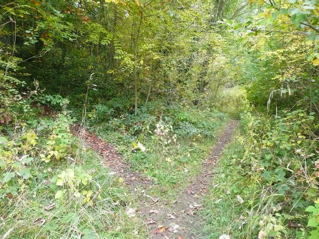
Image: © Humphrey Bolton Taken: 14 Oct 2015
The path to the left is Holmfirth FP49, and goes to Huddersfield Road through pleasant woodland. The path to the right is FP223, and at first is rather rough as it passes over debris left over from the demolition of a railway viaduct. It is then level, see Image], on its way to the footbridge over New Mill Dike, see Image
Images are licensed for reuse under creativecommons.org/licenses/by-sa/2.0
Image Location
Latitude
53.587081
Longitude
-1.768536