Bemersyde View
Introduction
The photograph on this page of Bemersyde View by Mary and Angus Hogg as part of the Geograph project.
The Geograph project started in 2005 with the aim of publishing, organising and preserving representative images for every square kilometre of Great Britain, Ireland and the Isle of Man.

There are currently over 7.5m images from over 14,400 individuals and you can help contribute to the project by visiting https://www.geograph.org.uk
Bemersyde View
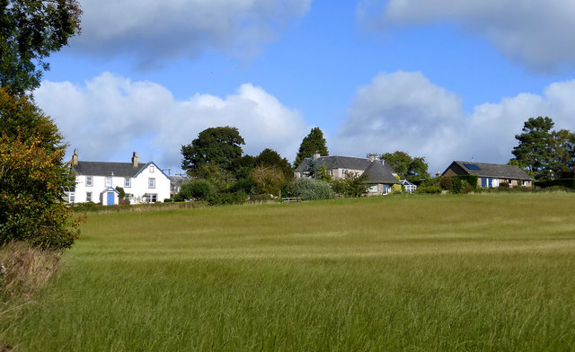
Image: © Mary and Angus Hogg Taken: 25 Sep 2015
Looking across a field towards the hamlet of Bemersyde. The small round building looks like a refurbished mill rink. I'll check this out at the next opportunity.
Images are licensed for reuse under creativecommons.org/licenses/by-sa/2.0
Image Location


Leaflet Map data © OpenStreetMap
Latitude
55.593707
Longitude
-2.643559