Level crossing, Datchet
Introduction
The photograph on this page of Level crossing, Datchet by Chris Wood as part of the Geograph project.
The Geograph project started in 2005 with the aim of publishing, organising and preserving representative images for every square kilometre of Great Britain, Ireland and the Isle of Man.

There are currently over 7.5m images from over 14,400 individuals and you can help contribute to the project by visiting https://www.geograph.org.uk
Level crossing, Datchet
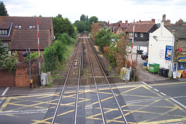
Image: © Chris Wood Taken: 17 Jun 2007
The two level crossings in Datchet, carrying both the roads connecting the village to the nearby town of Windsor, can cause traffic delays in the village. They are seen here from the station footbridge.
Images are licensed for reuse under creativecommons.org/licenses/by-sa/2.0
Image Location


Leaflet Map data © OpenStreetMap
Latitude
51.483815
Longitude
-0.581127