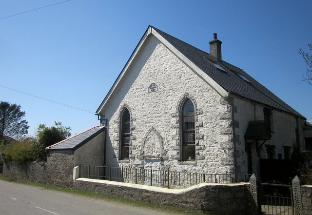
Former Primitive Methodist Chapel, Minions
Introduction
The photograph on this page of Former Primitive Methodist Chapel, Minions by Derek Harper as part of the Geograph project.
The Geograph project started in 2005 with the aim of publishing, organising and preserving representative images for every square kilometre of Great Britain, Ireland and the Isle of Man.
There are currently over 7.5m images from over 14,400 individuals and you can help contribute to the project by visiting https://www.geograph.org.uk

Image: © Derek Harper Taken: 20 Apr 2015
More or less identical to Image, and unachanged in eight years, but a chance to quote from http://www.historic-cornwall.org.uk/cisi/minions/CISI_Minions_report.pdf : " in the second half of the nineteenth century Minions accommodated two chapels ... The larger of the two chapels is the former Primitive Methodist Chapel. It was built in 1863 when the majority of industry-related building took place in the village. Originally the chapel would have been positioned a small distance from the track joining the Gonamena Incline, but in 1877 the new railway line was constructed hard behind it. The essential character of the building still remains; the high pitched roof with original slates, tall lancet windows on the façade, the date stone and the original low front wall with railings. The chapel is now however a domestic building, the walls and quoins have been painted and there are velux windows in the roof."

