The Caradon Inn
Introduction
The photograph on this page of The Caradon Inn by Derek Harper as part of the Geograph project.
The Geograph project started in 2005 with the aim of publishing, organising and preserving representative images for every square kilometre of Great Britain, Ireland and the Isle of Man.

There are currently over 7.5m images from over 14,400 individuals and you can help contribute to the project by visiting https://www.geograph.org.uk
The Caradon Inn
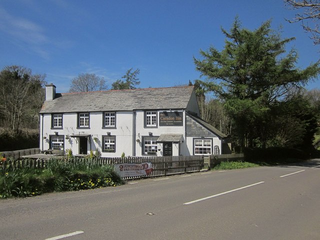
Image: © Derek Harper Taken: 20 Apr 2015
Another photo (see Image) of the pub beside the B3254. It is on the fringe of the designated area of the Cornwall and West Devon Mining Landscape.
Images are licensed for reuse under creativecommons.org/licenses/by-sa/2.0
Image Location
Latitude
50.525132
Longitude
-4.428227