Capel Bethel, Tretio
Introduction
The photograph on this page of Capel Bethel, Tretio by Natasha Ceridwen de Chroustchoff as part of the Geograph project.
The Geograph project started in 2005 with the aim of publishing, organising and preserving representative images for every square kilometre of Great Britain, Ireland and the Isle of Man.

There are currently over 7.5m images from over 14,400 individuals and you can help contribute to the project by visiting https://www.geograph.org.uk
Capel Bethel, Tretio
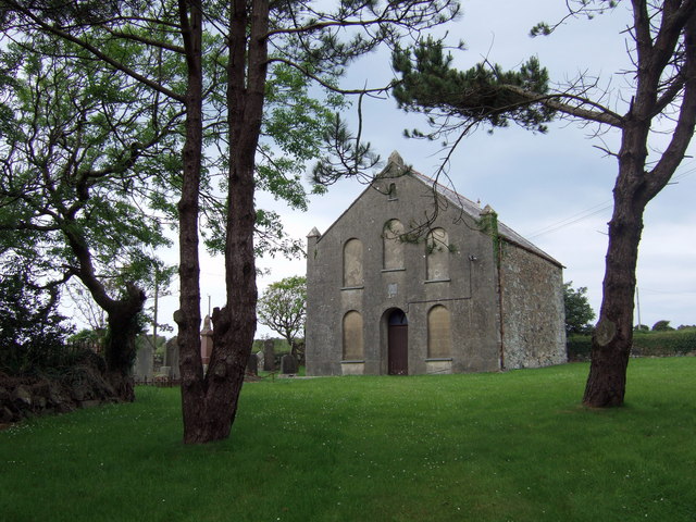
Image: © Natasha Ceridwen de Chroustchoff Taken: 17 Jun 2007
Tretio was a small agricultural hamlet of cottages and farms - now mostly second homes and holiday accommodation of some sort - and this chapel which dates from 1839. The graveyard is still in use. There is a story that this chapel was built by a local farmer for the benefit of his disabled wife with the proceeds of a treasure he discovered in an adjoining field named Parc Arian (Silver, or Money, Field). (Info thanks to Roy Lewis)
Images are licensed for reuse under creativecommons.org/licenses/by-sa/2.0
Image Location


Leaflet Map data © OpenStreetMap
Latitude
51.913941
Longitude
-5.22145