Narrow field descending towards Burnside Bridge
Introduction
The photograph on this page of Narrow field descending towards Burnside Bridge by Trevor Littlewood as part of the Geograph project.
The Geograph project started in 2005 with the aim of publishing, organising and preserving representative images for every square kilometre of Great Britain, Ireland and the Isle of Man.

There are currently over 7.5m images from over 14,400 individuals and you can help contribute to the project by visiting https://www.geograph.org.uk
Narrow field descending towards Burnside Bridge
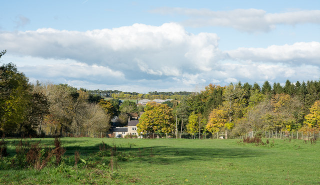
Image: © Trevor Littlewood Taken: 14 Oct 2015
In the vicinity of Burnside Bridge there's a number of properties which may be known collectively as The Glen. There's a complex of minor roads coming together there too having such names as Lead Road and Coal Road; additionally there's a stream named on larger scale maps as Smelting Sike. Those names betray the mining association the area has and of course this area is close to the site of the old Dukesfield Smelt Mill. http://www.geograph.org.uk/photo/124368
Images are licensed for reuse under creativecommons.org/licenses/by-sa/2.0
Image Location
Latitude
54.906276
Longitude
-2.020712