View to Holy Trinity, Poynings
Introduction
The photograph on this page of View to Holy Trinity, Poynings by Rob Farrow as part of the Geograph project.
The Geograph project started in 2005 with the aim of publishing, organising and preserving representative images for every square kilometre of Great Britain, Ireland and the Isle of Man.

There are currently over 7.5m images from over 14,400 individuals and you can help contribute to the project by visiting https://www.geograph.org.uk
View to Holy Trinity, Poynings
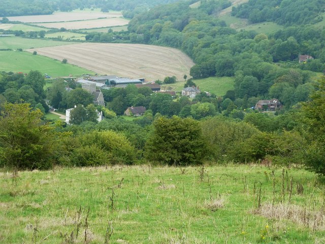
Image: © Rob Farrow Taken: 30 Aug 2015
A view from the northern slopes of the hill to the north of Devil's Dyke looking towards the Grade I listed Holy Trinity church in the village of Poynings some 400' below. Nearer the camera, and almost entirely obscured by trees is the Old Rectory (Grade II), with the (new) rectory to its right. Further to the right in the image is the Manor House and its associated buildings, including its Grade II listed stables.
Images are licensed for reuse under creativecommons.org/licenses/by-sa/2.0
Image Location
Latitude
50.894096
Longitude
-0.203248