Alongside the Capital Ring
Introduction
The photograph on this page of Alongside the Capital Ring by Marathon as part of the Geograph project.
The Geograph project started in 2005 with the aim of publishing, organising and preserving representative images for every square kilometre of Great Britain, Ireland and the Isle of Man.

There are currently over 7.5m images from over 14,400 individuals and you can help contribute to the project by visiting https://www.geograph.org.uk
Alongside the Capital Ring
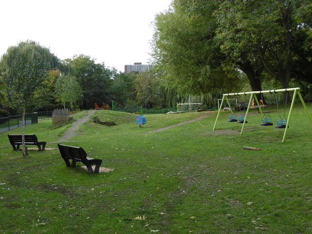
Image: © Marathon Taken: 14 Oct 2015
The Capital Ring follows Brookside Walk, so named after the Mutton Brook which is to the left here, beyond the path which is followed by the Capital Ring. The Mutton Brook rises near Highgate Wood and flows into the Dollis Brook just ahead, which then becomes the River Brent. Much of the Mutton Brook flows in culvert through formal gardens but there are also some more natural sections. The busy and noisy North Circular Road is just behind, crossing the Capital Ring and the Mutton Brook on a bridge. One other point of interest is that this was the furthest point south reached by any of the recent Ice Ages in Britain (the Anglian around 400,000 years ago). Gravel hereabouts has been found to contain stones carried by the ice from as far away as Scandinavia. The Mutton and Dollis Brooks are remnants of periglacial features which were the means by which melt water was conveyed to the River Brent and thence to the Thames at Brentford.
Images are licensed for reuse under creativecommons.org/licenses/by-sa/2.0
Image Location
Latitude
51.587367
Longitude
-0.210099