North Road with the wall of West Retford House
Introduction
The photograph on this page of North Road with the wall of West Retford House by Alan Murray-Rust as part of the Geograph project.
The Geograph project started in 2005 with the aim of publishing, organising and preserving representative images for every square kilometre of Great Britain, Ireland and the Isle of Man.

There are currently over 7.5m images from over 14,400 individuals and you can help contribute to the project by visiting https://www.geograph.org.uk
North Road with the wall of West Retford House
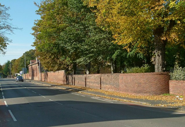
Image: © Alan Murray-Rust Taken: 11 Oct 2015
There are the remains of a bench mark http://www.geograph.org.uk/photo/4700539 on the wall right of centre where the newer section starts.
Images are licensed for reuse under creativecommons.org/licenses/by-sa/2.0
Image Location
Latitude
53.325251
Longitude
-0.949302