Rowallan Drive
Introduction
The photograph on this page of Rowallan Drive by Richard Webb as part of the Geograph project.
The Geograph project started in 2005 with the aim of publishing, organising and preserving representative images for every square kilometre of Great Britain, Ireland and the Isle of Man.

There are currently over 7.5m images from over 14,400 individuals and you can help contribute to the project by visiting https://www.geograph.org.uk
Rowallan Drive
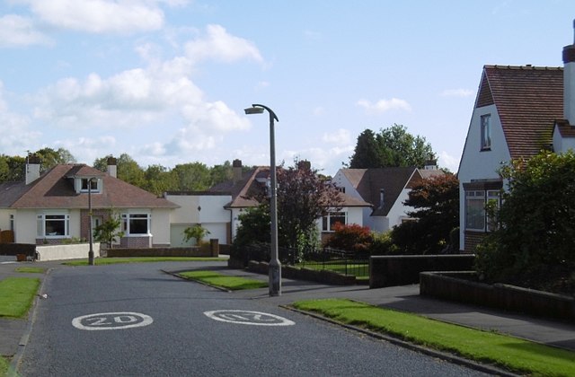
Image: © Richard Webb Taken: 25 Sep 2015
This was the only street in the development shown on the Provisional 1:25,000 map published in 1954.
Images are licensed for reuse under creativecommons.org/licenses/by-sa/2.0
Image Location
Latitude
55.627423
Longitude
-4.486743