Montague Street, Kemp Town, Brighton
Introduction
The photograph on this page of Montague Street, Kemp Town, Brighton by Simon Carey as part of the Geograph project.
The Geograph project started in 2005 with the aim of publishing, organising and preserving representative images for every square kilometre of Great Britain, Ireland and the Isle of Man.

There are currently over 7.5m images from over 14,400 individuals and you can help contribute to the project by visiting https://www.geograph.org.uk
Montague Street, Kemp Town, Brighton
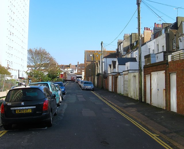
Image: © Simon Carey Taken: 11 Oct 2015
A side street that runs from Montague Place to Upper Bedford Street that was originally developed in the 1820s. The southern side of the road contains the rear of houses in Image whilst all the northern side has been removed some during the slum clearances of the 1930s and the remaining buildings in the mid 1960s. See http://regencysociety-jamesgray.com/volume22/source/jg_22_212.html for a 1964 looking westwards.
Images are licensed for reuse under creativecommons.org/licenses/by-sa/2.0
Image Location
Latitude
50.81984
Longitude
-0.125033