East End Cottage, Park Street
Introduction
The photograph on this page of East End Cottage, Park Street by John Baker as part of the Geograph project.
The Geograph project started in 2005 with the aim of publishing, organising and preserving representative images for every square kilometre of Great Britain, Ireland and the Isle of Man.

There are currently over 7.5m images from over 14,400 individuals and you can help contribute to the project by visiting https://www.geograph.org.uk
East End Cottage, Park Street
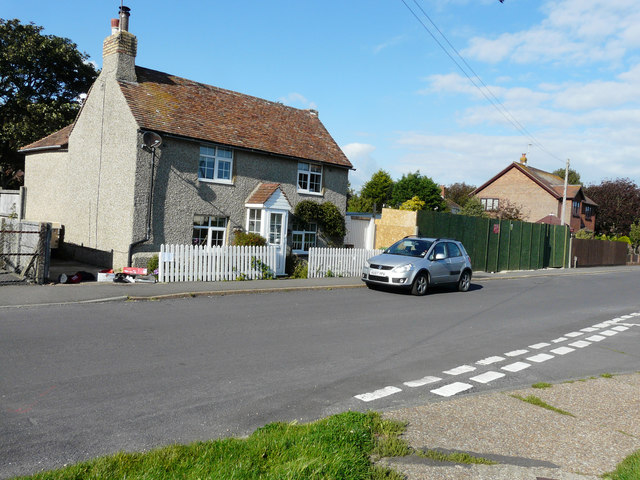
Image: © John Baker Taken: 20 Sep 2015
The green hoarding, to its right, hides the former site of the Royal British Legion clubhouse and outbuildings. Planning permission has been approved, with conditions, by Folkestone and Hythe District Council under application number Y15/0315/SH for the “erection of two semi-detached dwellings together with garages, associated parking and vehicular access following demolition of former clubhouse and outbuildings”. There will also be access to the houses from the High Street to the left of Image
Images are licensed for reuse under creativecommons.org/licenses/by-sa/2.0
Image Location
Latitude
50.949693
Longitude
0.903755