Horncastle's new flood defences near Watermill Farm, Hemingby: aerial October 2015
Introduction
The photograph on this page of Horncastle's new flood defences near Watermill Farm, Hemingby: aerial October 2015 by Chris as part of the Geograph project.
The Geograph project started in 2005 with the aim of publishing, organising and preserving representative images for every square kilometre of Great Britain, Ireland and the Isle of Man.

There are currently over 7.5m images from over 14,400 individuals and you can help contribute to the project by visiting https://www.geograph.org.uk
Horncastle's new flood defences near Watermill Farm, Hemingby: aerial October 2015
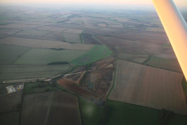
Image: © Chris Taken: 2 Oct 2015
By the River Bain. See http://www.horncastlenews.co.uk/news/local/hemingby-is-site-for-new-flood-defences-1-6735495 The weather may be dull down there but the October evening sun is still shining up here, hence the warm orange glow on the wing spar. See later shot (end of November): Image
Images are licensed for reuse under creativecommons.org/licenses/by-sa/2.0
Image Location
Latitude
53.260958
Longitude
-0.155386