Boreland
Introduction
The photograph on this page of Boreland by Richard Webb as part of the Geograph project.
The Geograph project started in 2005 with the aim of publishing, organising and preserving representative images for every square kilometre of Great Britain, Ireland and the Isle of Man.

There are currently over 7.5m images from over 14,400 individuals and you can help contribute to the project by visiting https://www.geograph.org.uk
Boreland
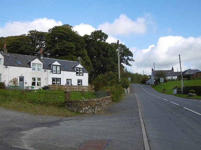
Image: © Richard Webb Taken: 8 Oct 2015
One of the few settlements around these parts, Boreland is in Dryfesdale about 12km upstream from Lockerbie.
Images are licensed for reuse under creativecommons.org/licenses/by-sa/2.0
Image Location


Leaflet Map data © OpenStreetMap
Latitude
55.207071
Longitude
-3.304681