New England Road, Brighton
Introduction
The photograph on this page of New England Road, Brighton by Simon Carey as part of the Geograph project.
The Geograph project started in 2005 with the aim of publishing, organising and preserving representative images for every square kilometre of Great Britain, Ireland and the Isle of Man.

There are currently over 7.5m images from over 14,400 individuals and you can help contribute to the project by visiting https://www.geograph.org.uk
New England Road, Brighton
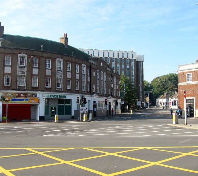
Image: © Simon Carey Taken: 11 Oct 2015
The A270 viewed from Preston Circus. Named after a former farm located on the western side of the railway it also formed the ancient parish boundary between Brighton and Preston until the latter was absorbed into the borough in 1928. By that time the road was the main A27 which it would remain until 1991 when the Brighton Bypass was opened. The building on the left containing Lloyds Bank was built in the early 1930s whilst beyond is Vantage Point added in the 1960s.
Images are licensed for reuse under creativecommons.org/licenses/by-sa/2.0
Image Location
Latitude
50.833571
Longitude
-0.140105