Bartley Reservoir
Introduction
The photograph on this page of Bartley Reservoir by Stephen McKay as part of the Geograph project.
The Geograph project started in 2005 with the aim of publishing, organising and preserving representative images for every square kilometre of Great Britain, Ireland and the Isle of Man.

There are currently over 7.5m images from over 14,400 individuals and you can help contribute to the project by visiting https://www.geograph.org.uk
Bartley Reservoir
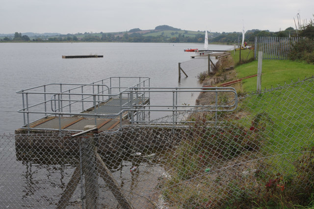
Image: © Stephen McKay Taken: 3 Oct 2015
Bartley Reservoir was constructed between 1925 and 1930 to supply drinking water to Birmingham. It has a surface area of 110 acres.
Images are licensed for reuse under creativecommons.org/licenses/by-sa/2.0
Image Location
Latitude
52.431749
Longitude
-1.993337