Powerlines Near Chantry Goyle
Introduction
The photograph on this page of Powerlines Near Chantry Goyle by Nigel Mykura as part of the Geograph project.
The Geograph project started in 2005 with the aim of publishing, organising and preserving representative images for every square kilometre of Great Britain, Ireland and the Isle of Man.

There are currently over 7.5m images from over 14,400 individuals and you can help contribute to the project by visiting https://www.geograph.org.uk
Powerlines Near Chantry Goyle
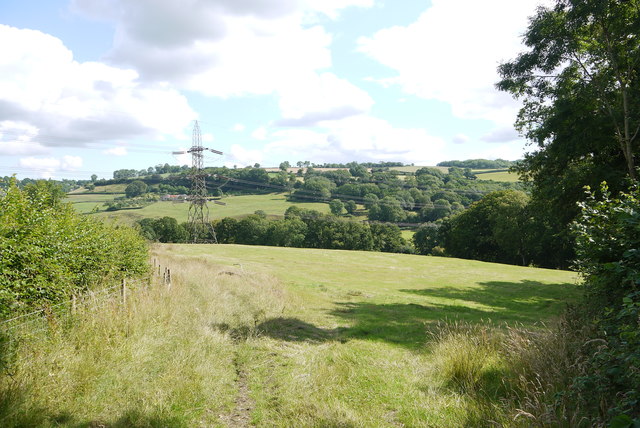
Image: © Nigel Mykura Taken: 7 Aug 2015
Chantry Goyle are the woods on the right. The Yarty River is in the valley beyond and to the right of the pylon. The road from Stockland to Kilmington is behind the hedge on the left.
Images are licensed for reuse under creativecommons.org/licenses/by-sa/2.0
Image Location
Latitude
50.800216
Longitude
-3.041358