Traffic tangle by Putney Bridge, 1990
Introduction
The photograph on this page of Traffic tangle by Putney Bridge, 1990 by Ben Brooksbank as part of the Geograph project.
The Geograph project started in 2005 with the aim of publishing, organising and preserving representative images for every square kilometre of Great Britain, Ireland and the Isle of Man.

There are currently over 7.5m images from over 14,400 individuals and you can help contribute to the project by visiting https://www.geograph.org.uk
Traffic tangle by Putney Bridge, 1990
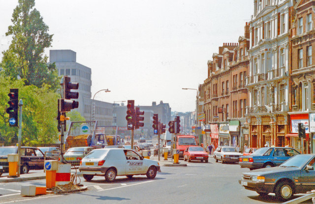
Image: © Ben Brooksbank Taken: 5 May 1990
View southward from the south end of Putney Bridge (A219) up Putney High Street with Lower Richmond Road (B306) joining on the right and Putney Bridge Road (A209) starting just along to the right: an awkward bottleneck.
Images are licensed for reuse under creativecommons.org/licenses/by-sa/2.0
Image Location
Latitude
51.465227
Longitude
-0.21445