
Alwold Road, Weoley Castle
Introduction
The photograph on this page of Alwold Road, Weoley Castle by Stephen McKay as part of the Geograph project.
The Geograph project started in 2005 with the aim of publishing, organising and preserving representative images for every square kilometre of Great Britain, Ireland and the Isle of Man.

There are currently over 7.5m images from over 14,400 individuals and you can help contribute to the project by visiting https://www.geograph.org.uk
Alwold Road, Weoley Castle
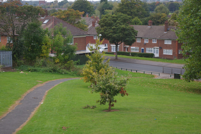
Image: © Stephen McKay Taken: 3 Oct 2015
Alwold Road is named after a Saxon Chieftain who held land in this area. No doubt, in conferring this name, Birmingham Corporation was mindful of the medieval association with Weoley Castle, the remains of which lie just north of the road. The 'castle' was in fact a fortified manor house and the way land rises immediately to the south is an indication that this was not intended to be a truly defensive location. Land surrounding the castle was purchased by the Corporation in the 1930s for housing, built in the 'garden city' style very fashionable at the time.
Images are licensed for reuse under creativecommons.org/licenses/by-sa/2.0
Image Location

Latitude
52.441724
Longitude
-1.970092