
Sign for Hawgood Street E3, London Borough of Tower Hamlets
Introduction
The photograph on this page of Sign for Hawgood Street E3, London Borough of Tower Hamlets by David Hawgood as part of the Geograph project.
The Geograph project started in 2005 with the aim of publishing, organising and preserving representative images for every square kilometre of Great Britain, Ireland and the Isle of Man.

There are currently over 7.5m images from over 14,400 individuals and you can help contribute to the project by visiting https://www.geograph.org.uk
Sign for Hawgood Street E3, London Borough of Tower Hamlets
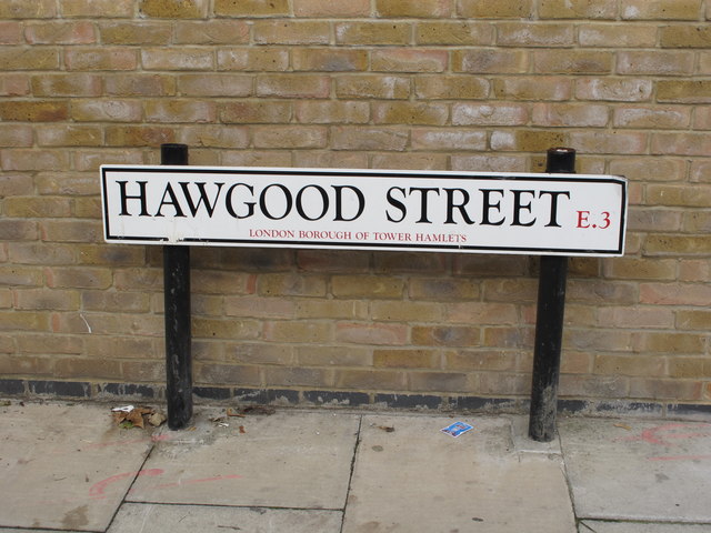
Image: © David Hawgood Taken: 10 Oct 2015
Up to the 1860s this area was industrial with pot ash manufacture. Hawgood, Eastward, Box, Furze and Gale Street were laid out and a July 1866 advertisement in London City Press shows the auction of the freehold ground-rents of 64 brick-built houses. A Hawgood Family website says the street was named after Robert Henry Hawgood, a sanitary engineer who worked installing the London sewer system. In Booth's Map of Poverty 1886-1903 the street is: "BLACK: Lowest class. Vicious, semi-criminal." - occupied by "The lowest class which consists of some occasional labourers, street sellers, loafers, criminals and semi-criminals. Their life is the life of savages, with vicissitudes of extreme hardship and their only luxury is drink." Hawgood Street had 22 houses on the north side and industrial premises on the south side, between the street and the Limehouse Cut. This layout persisted to the 1940s - there was only minor bomb damage, one house destroyed and the rest repairable blast damage. Since the 2nd World War the area has been totally redeveloped. There is now housing between Hawgood Street and the canal. The area north of Hawgood Street has been cleared and become a green space, Furze Green; the short Eastward Street and Box Street which ran across from Furze Street to Gale Street no longer exist.
Images are licensed for reuse under creativecommons.org/licenses/by-sa/2.0
Image Location

Latitude
51.518043
Longitude
-0.020252