
Roosecote Hill
Introduction
The photograph on this page of Roosecote Hill by Rude Health as part of the Geograph project.
The Geograph project started in 2005 with the aim of publishing, organising and preserving representative images for every square kilometre of Great Britain, Ireland and the Isle of Man.

There are currently over 7.5m images from over 14,400 individuals and you can help contribute to the project by visiting https://www.geograph.org.uk
Roosecote Hill
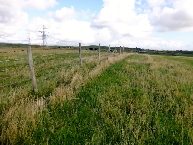
Image: © Rude Health Taken: 8 Oct 2015
Parked in the layby on A5087 then walked up Dungeon Lane then across pasture to high point then SW to bag second high point then 2 gates to start of footpath back at A5087 for a circular route. Name: Roosecote Hill Hill number: 16348 Height: 43m / 141ft Parent (Ma/M): 2668 Kirkby Moor [Lowick High Common] Section: 34D: Southern Cumbria County/UA: Cumbria (CoU) Class: Tump (0-99m) Grid ref: SD231690 (est) Drop: 31m Col: 12m SD230695
Images are licensed for reuse under creativecommons.org/licenses/by-sa/2.0
Image Location

Latitude
54.111203
Longitude
-3.176863