Private Road across Coldharbour Hill
Introduction
The photograph on this page of Private Road across Coldharbour Hill by Stephen McKay as part of the Geograph project.
The Geograph project started in 2005 with the aim of publishing, organising and preserving representative images for every square kilometre of Great Britain, Ireland and the Isle of Man.

There are currently over 7.5m images from over 14,400 individuals and you can help contribute to the project by visiting https://www.geograph.org.uk
Private Road across Coldharbour Hill
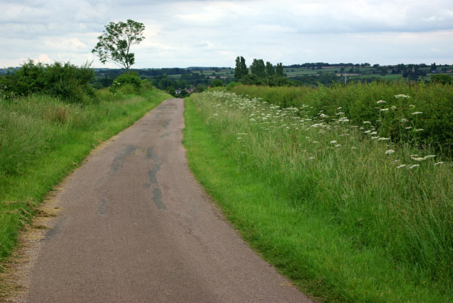
Image: © Stephen McKay Taken: 17 Jun 2007
This is a private road, signed no vehicles except for access to farms, but it is also a public footpath. It is seen here descending from Coldharbour Hill to Harrold.
Images are licensed for reuse under creativecommons.org/licenses/by-sa/2.0
Image Location
Latitude
52.200196
Longitude
-0.628516