Threave Road, Rhonehouse
Introduction
The photograph on this page of Threave Road, Rhonehouse by Richard Sutcliffe as part of the Geograph project.
The Geograph project started in 2005 with the aim of publishing, organising and preserving representative images for every square kilometre of Great Britain, Ireland and the Isle of Man.

There are currently over 7.5m images from over 14,400 individuals and you can help contribute to the project by visiting https://www.geograph.org.uk
Threave Road, Rhonehouse
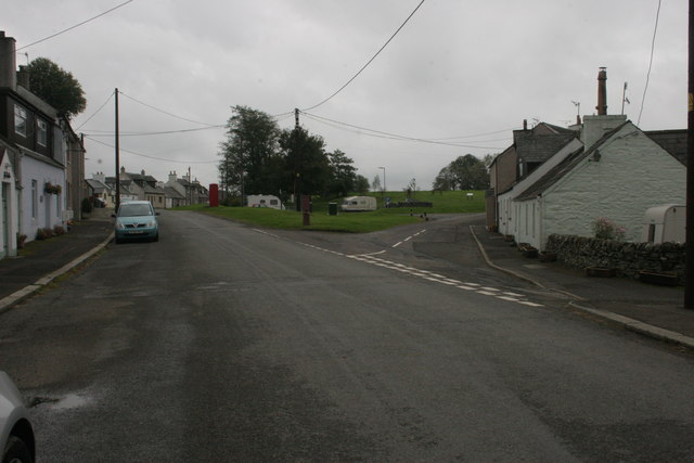
Image: © Richard Sutcliffe Taken: 9 Oct 2015
Rhonehouse is also known as Kelton Hill. The road to the right leads to Bridge of Dee.
Images are licensed for reuse under creativecommons.org/licenses/by-sa/2.0
Image Location
Latitude
54.916642
Longitude
-3.964127