Around The Bend To Rues Farm
Introduction
The photograph on this page of Around The Bend To Rues Farm by Keith Evans as part of the Geograph project.
The Geograph project started in 2005 with the aim of publishing, organising and preserving representative images for every square kilometre of Great Britain, Ireland and the Isle of Man.

There are currently over 7.5m images from over 14,400 individuals and you can help contribute to the project by visiting https://www.geograph.org.uk
Around The Bend To Rues Farm
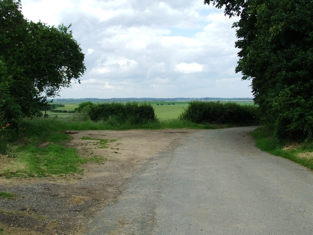
Image: © Keith Evans Taken: 17 Jun 2007
With views of Felixstowe Marshes and Rues Farm just around the corner this is the end of the public road near to Felixstowe Ferry Suffolk.
Images are licensed for reuse under creativecommons.org/licenses/by-sa/2.0
Image Location


Leaflet Map data © OpenStreetMap
Latitude
51.984069
Longitude
1.370642