West of the A548 to Abergele: aerial 2015
Introduction
The photograph on this page of West of the A548 to Abergele: aerial 2015 by Chris as part of the Geograph project.
The Geograph project started in 2005 with the aim of publishing, organising and preserving representative images for every square kilometre of Great Britain, Ireland and the Isle of Man.

There are currently over 7.5m images from over 14,400 individuals and you can help contribute to the project by visiting https://www.geograph.org.uk
West of the A548 to Abergele: aerial 2015
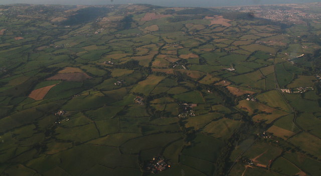
Image: © Chris Taken: 2 Oct 2015
Penrefail Crossroads centre right. Unnamed stream runs diagonally through the tree lined valley.
Images are licensed for reuse under creativecommons.org/licenses/by-sa/2.0
Image Location
Latitude
53.25903
Longitude
-3.611173